
The Biggest El Niño for a Century: Why the UK Could Face a Wetter and Stormier Autumn
The world is entering a potentially extraordinary period of climate disruption. Scientists at the UK Met Office have warned that the El Niño event developing across the tropical Pacific Ocean could become the strongest in living memory and possibly the largest since the nineteenth century. If current forecasts prove accurate, the phenomenon could have consequences far beyond the Pacific, influencing weather patterns across continents and potentially making autumn and early winter considerably wetter and stormier in the United Kingdom.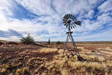
El Niño is a natural climate phenomenon that occurs when unusually warm ocean water develops across the central and eastern tropical Pacific. Under normal conditions, trade winds push warm surface water towards the western Pacific. During El Niño, these winds weaken, allowing warm water to spread eastwards. This enormous redistribution of heat changes atmospheric circulation and affects the position and behaviour of the jet stream. Although the phenomenon begins thousands of kilometres from Britain, its influence can eventually reach Europe and alter the weather experienced by millions of people.
The current event is particularly remarkable because of its projected intensity. The Met Office says that sea-surface temperatures in the Niño 3.4 region could rise by more than 3°C above average in the coming months. For comparison, a typical El Niño produces a rise of roughly 1–2°C, while 2°C is already considered a very large event. Professor Adam Scaife, head of long-range forecasting at the Met Office, described the developing situation as unprecedented and said he had never seen such an intense El Niño signal in the organisation’s forecasts.
The timing is also important. El Niño is expected to strengthen towards the end of 2026, reaching its peak during the winter. As the Pacific Ocean warms, the resulting changes in atmospheric circulation are expected to spread around the world. The World Meteorological Organization has also identified a strong El Niño developing during the August–October period, with forecasts suggesting that the sea-surface temperature anomaly could approach 2.9°C during that season and intensify further towards November.
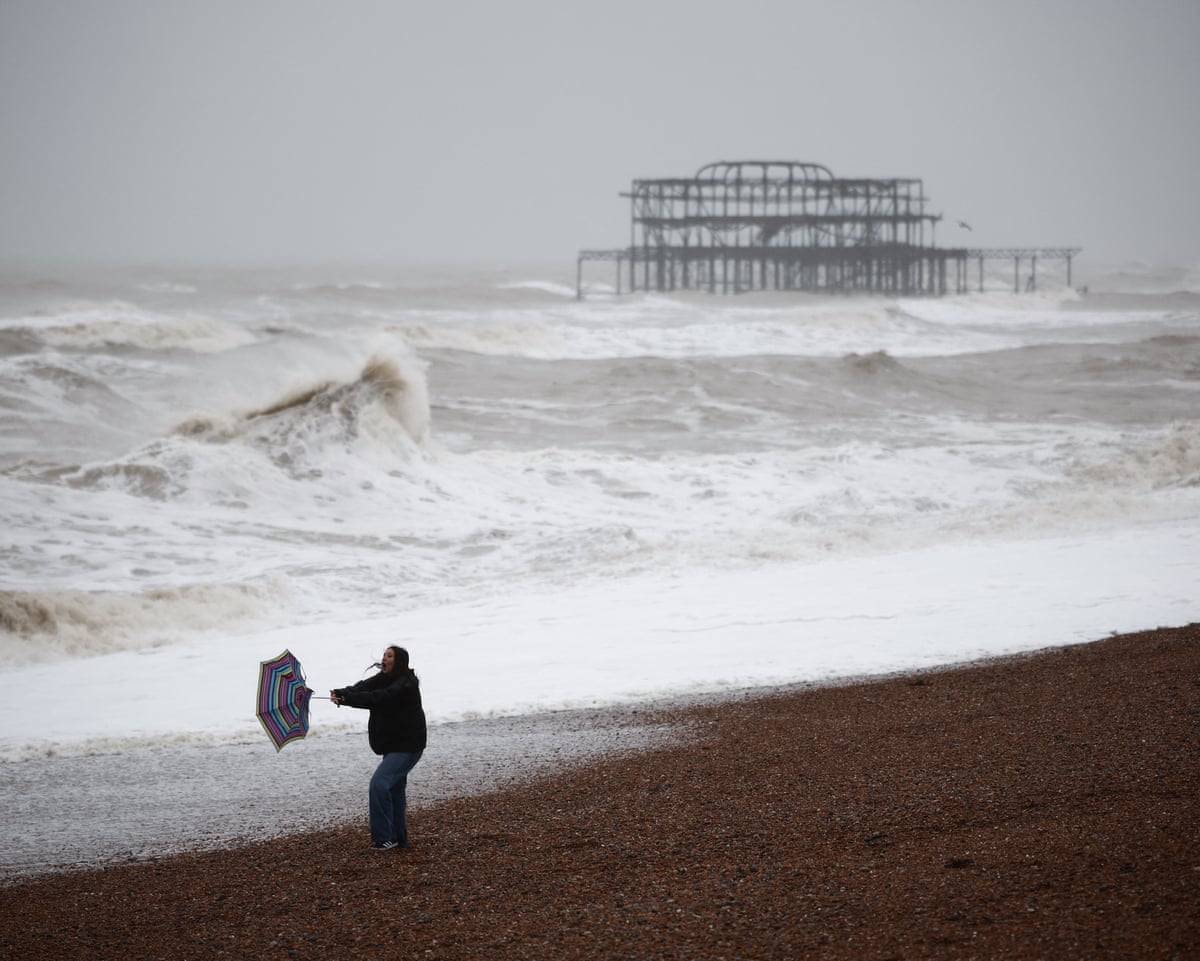
For the UK, the most immediate concern is not extreme heat but rain and storms. According to the Met Office, El Niño is expected to increase the chances of wetter and stormier conditions across north-western Europe, including Britain, during the autumn and early winter. The strongest influence could become apparent in November and December.
At first glance, increased rainfall might seem like welcome news for Britain. The country has experienced a remarkably hot and dry period, leaving parts of the landscape suffering from drought conditions and placing pressure on water supplies. Reservoir levels and agricultural land have been affected by prolonged periods of low rainfall. After such a dry summer, autumn rain could help replenish rivers, reservoirs and groundwater. In this sense, the arrival of wetter weather could provide some relief.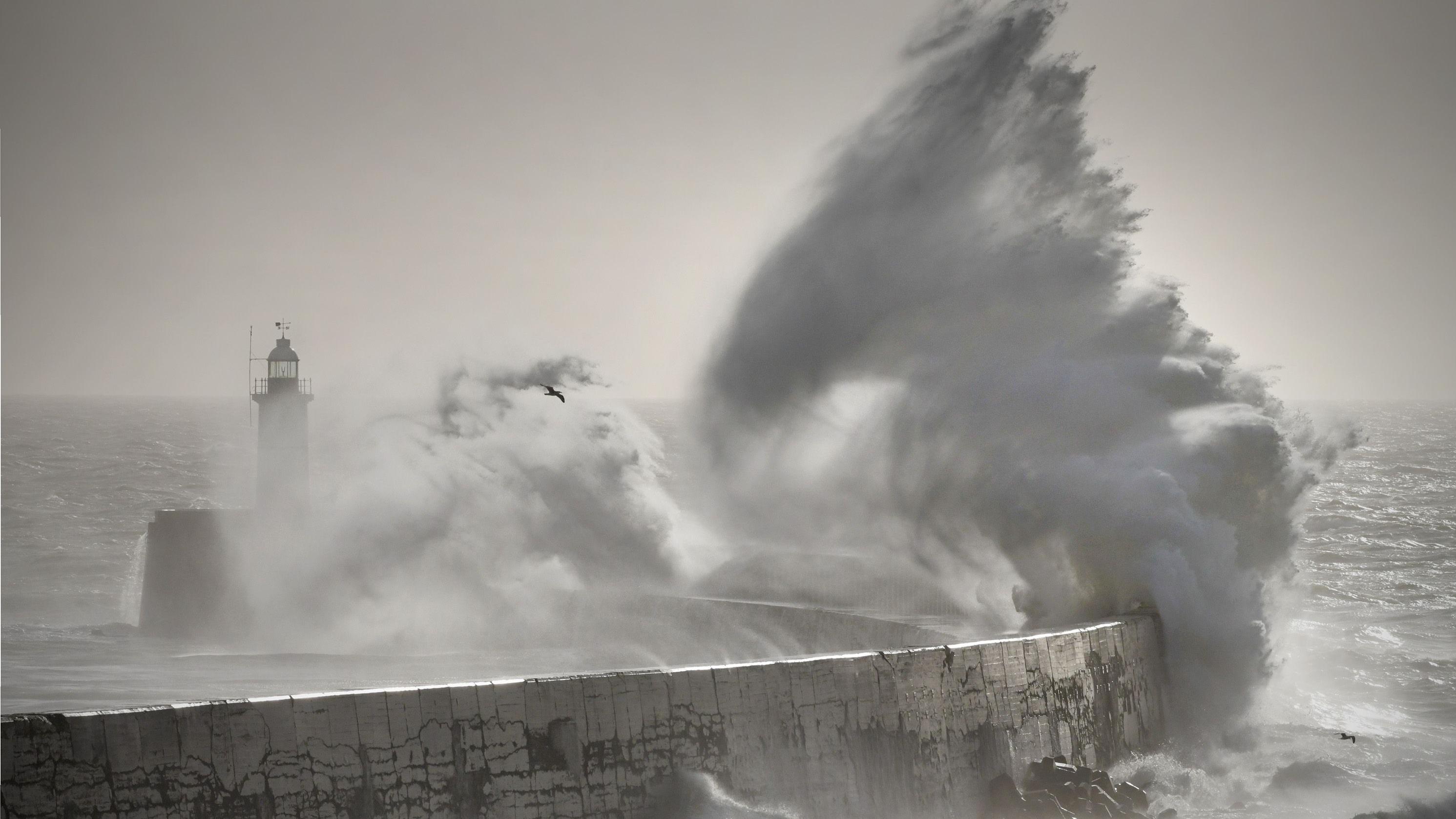
However, rainfall is not automatically beneficial simply because there has been a drought. The speed, intensity and distribution of rainfall matter enormously. If months of dry weather are followed by intense downpours, the ground may struggle to absorb the water quickly enough. Rivers can rise rapidly, urban drainage systems can become overwhelmed, and flooding can occur. Climate change is also increasing the likelihood of intense rainfall events, meaning that a stormy autumn could bring both desperately needed water and significant damage.
Storms could create additional problems. Strong winds can damage buildings, uproot trees, disrupt roads and railways, and cause power outages. Coastal communities may face particularly difficult conditions if periods of strong winds coincide with high tides and large waves. Britain’s transport infrastructure is also vulnerable. Railways, airports and roads can experience major disruption when heavy rain and strong winds occur simultaneously.
The country’s railway network has already been considering how to adapt to increasingly extreme weather. Recent extreme heat has caused disruption to rail services, demonstrating that Britain’s infrastructure, historically designed around a cooler climate, is increasingly being tested by unfamiliar conditions. Network Rail has increased investment in climate resilience, including drainage improvements, track maintenance and monitoring systems. A wetter and stormier period later this year could provide another major test of those preparations.
The effects of El Niño, however, will not be limited to Britain. One of the most important characteristics of the phenomenon is that it redistributes rainfall and heat around the planet rather than simply making the entire world warmer or wetter. Some regions may experience excessive rainfall and flooding, while others face drought, heat and wildfires.
Parts of South America, Australia, Indonesia, southern Africa and other tropical regions can experience significant disruptions during strong El Niño events. Peru and Ecuador, for example, are particularly vulnerable to heavy rainfall, flooding and landslides. Conversely, Australia and parts of the western Pacific can experience increased drought risk. The Indian summer monsoon can also be affected, potentially creating serious consequences for agriculture and food security.
These changes demonstrate why El Niño is much more than a local ocean phenomenon. A shift in Pacific sea temperatures can influence atmospheric circulation thousands of kilometres away. Changes in tropical rainfall alter patterns of rising and sinking air, which can affect jet streams and pressure systems across the Northern Hemisphere. The result is a chain reaction in which an ocean warming event in one part of the world can eventually influence rainfall and wind patterns in another.
Another major concern is global temperature. El Niño naturally adds heat to the atmosphere by changing the way energy is distributed between the ocean and atmosphere. When this natural warming occurs on top of human-caused global warming, temperatures can reach exceptionally high levels. The Met Office has warned that 2027 could become another record-breaking year for global temperatures. Some forecasts suggest that global temperatures could temporarily reach around 1.7°C above the pre-industrial average.
This does not mean that El Niño itself causes climate change. El Niño is a natural phenomenon that has existed for thousands of years. Instead, climate change changes the background conditions in which El Niño occurs. Human activity has already raised global temperatures substantially, meaning that a naturally occurring warming event can push temperatures to levels that would have been less likely in the past.
There is therefore an important distinction between weather and climate. A strong El Niño can influence the weather over months or a year, while climate change describes a much longer-term transformation. Nevertheless, the two can interact. A warmer atmosphere can hold more moisture, increasing the potential for intense rainfall when suitable weather systems develop. Warmer oceans can also contribute additional energy and moisture to atmospheric systems. Consequently, the combination of natural climate variability and long-term human-caused warming can produce particularly challenging conditions.
Despite the dramatic headlines surrounding the current El Niño, scientists caution against treating forecasts as guarantees. No two El Niño events are identical, and the UK is relatively far from the Pacific Ocean. Its weather is controlled by numerous interacting factors, including the North Atlantic jet stream, Atlantic Ocean temperatures, atmospheric pressure patterns and other climate oscillations. El Niño may increase the probability of certain conditions, but it cannot determine exactly what the weather will be on a particular day.
This uncertainty is especially important when discussing long-range forecasts. A prediction that autumn is more likely to be wet and stormy does not mean Britain will experience continuous rain or severe storms every week. Instead, it indicates that the overall odds of unsettled conditions may be higher than normal. Weather forecasting becomes increasingly uncertain as the forecast period extends, so predictions will continue to be revised as new observations become available.
Nevertheless, the possibility of such an exceptional El Niño should encourage preparation rather than complacency. Local authorities can inspect drainage systems, strengthen flood defences and prepare emergency plans. Transport companies can check vulnerable infrastructure and monitor weather conditions carefully. Households can take sensible precautions against flooding and strong winds, particularly in areas that have historically experienced severe weather.
There is also a broader lesson. Extreme weather should not only be treated as an emergency to be dealt with after it happens. Infrastructure needs to be designed for the climate of the future rather than the climate of the past. Roads, railways, drainage networks, buildings and energy systems all need to become more resilient to combinations of heat, drought, heavy rainfall and storms.
For Britain, the coming autumn could therefore present a striking contrast to the weather experienced earlier in the year. A country suffering from heat and drought may suddenly find itself dealing with heavy rain, powerful winds and flooding. Such a rapid change illustrates the complexity of modern climate conditions. The challenge is not simply to prepare for a warmer world, but to prepare for greater variability and more frequent extremes.
Ultimately, the developing El Niño is a reminder that the Earth’s climate system is deeply interconnected. An extraordinary warming of the Pacific Ocean can influence rainfall in Britain, drought in Australia, floods in South America and global temperatures thousands of kilometres away. The event may become the strongest El Niño in more than a century, but its precise consequences will only become clearer as it develops.
For the UK, the message is therefore one of cautious preparation. More autumn rain could provide welcome relief after drought, but heavier downpours and stronger storms could create new risks. Scientists will continue to monitor the Pacific closely, while governments, businesses and communities must prepare for a season in which the weather could become considerably more unsettled. Whatever ultimately happens, this extraordinary El Niño offers another powerful demonstration of how natural climate variability and human-driven global warming can combine to shape the increasingly unpredictable world in which we live.